


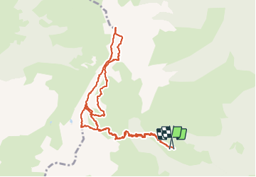

13.1 km | 28 km-effort

User


FREE GPS app for hiking
 SityTrail
IGN / Geographical institutes
SityTrail World
The world is yours!
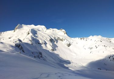
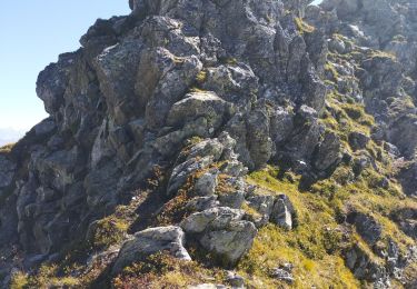
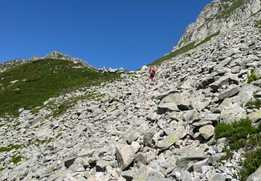
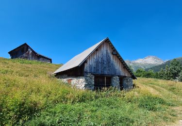
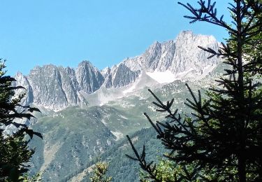
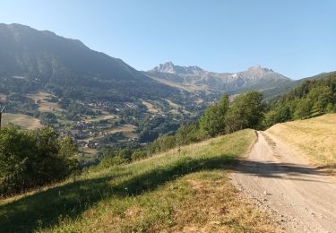
Trail Walking of 12.2 km to be discovered at Auvergne-Rhône-Alpes, Savoy, La Léchère. This trail is proposed by nadd73.
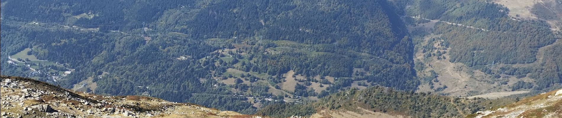
Départ de Gelon.
Attention au retour si vous passez par les crêtes, c'est aérien et il faut avoir le pied sûr. Ce sont des sentes de chamois.


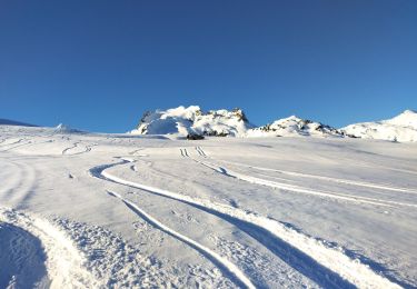
Touring skiing
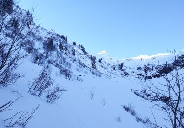
Touring skiing
Touring skiing
Walking
Walking
On foot
On foot
On foot
Walking